
How Historical Satellite Images Are Used to Understand Environmental Change
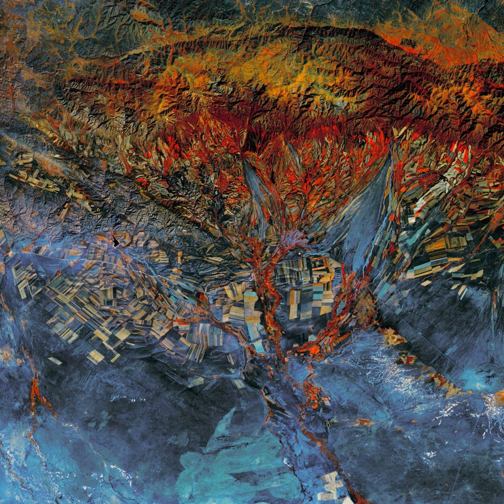
Historical satellite images are used to understand environmental change by using photographs of Earth’s surface from satellites over an extended period and comparing them over time.