
How Historical Satellite Images Are Used to Understand Environmental Change
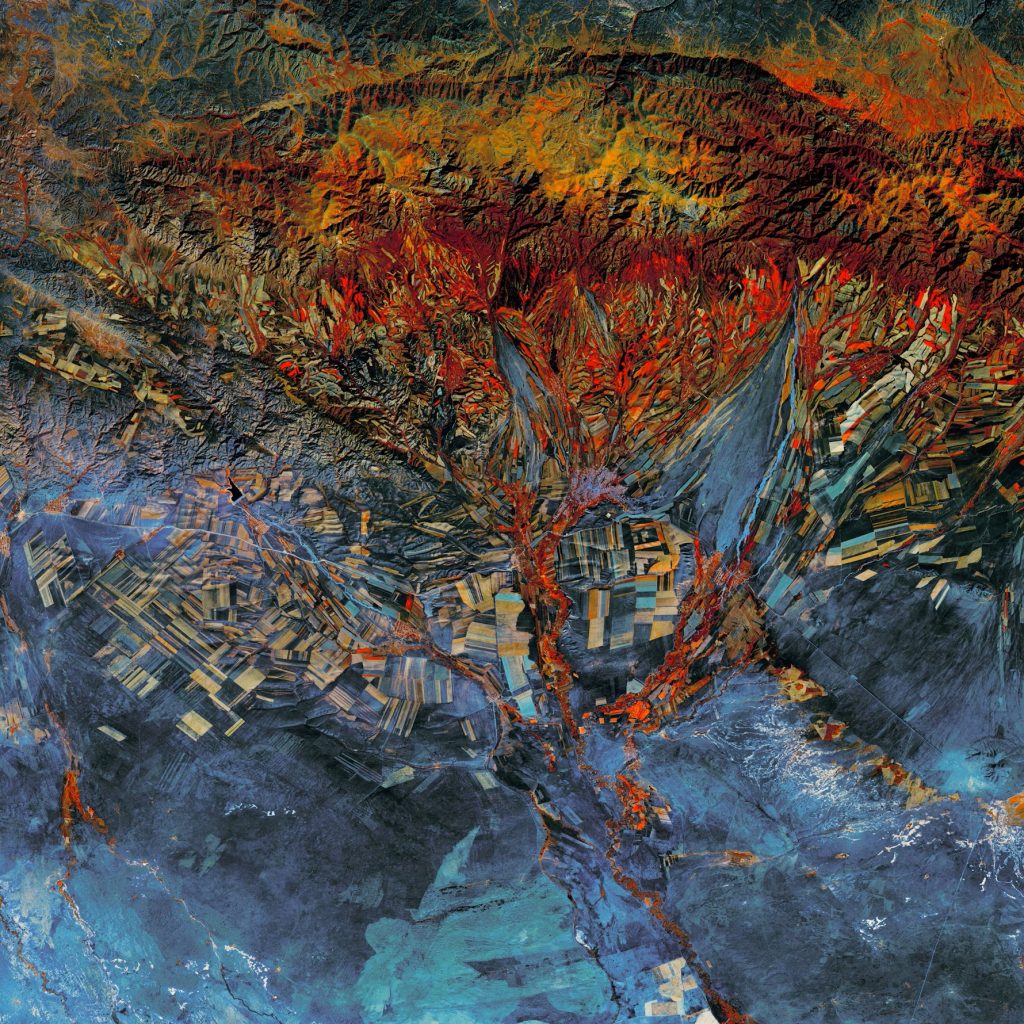
Historical satellite images are used to understand environmental change by using photographs of Earth’s surface from satellites over an extended period and comparing them over time.
Does the Earth have more than one Moon?

We wonder if the Earth has more than one Moon in this new 360 on History blog post discussing the number of satellites that have orbited our planet & considered “moons”.