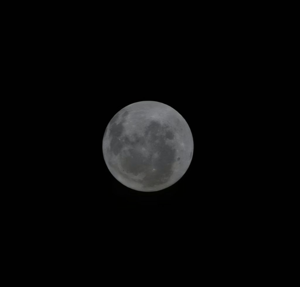
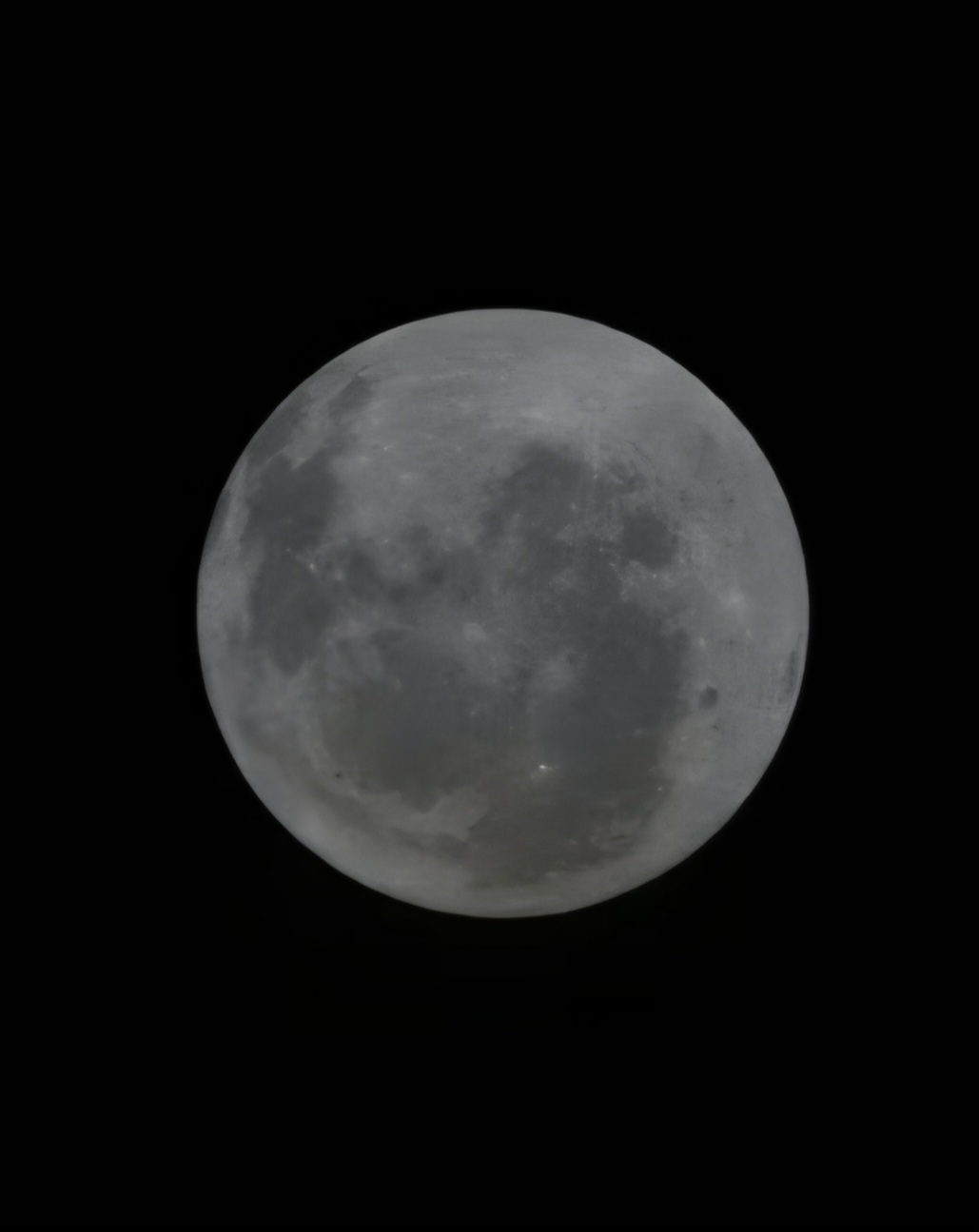
The Artemis II mission represents a significant milestone in lunar exploration, as it marks the first time since 1972 that humans have traveled to the vicinity of the Moon. While previous Apollo missions and robotic orbiters have photographed the lunar surface, the specific perspective of the Orientale basin in this image offers a rare look at one of the most striking geological features on the Moon.
Understanding the Orientale Basin
The Orientale basin is often described as looking like a giant “bullseye” from space. It is a multi-ring impact crater, which is a specific type of geological structure formed by a massive collision billions of years ago. Because it is located on the extreme western edge of the Moon’s nearside, it is almost impossible to see clearly from Earth due to tidal locking.
Structure: It consists of three distinct concentric circles of mountains.
Size: The outer ring, known as the Cordillera Mountains, spans roughly 930 kilometers in diameter.
State of Preservation: Unlike many other large lunar basins, Orientale has not been completely flooded by volcanic basalt (mare), which allows scientists to study the original impact structure in great detail.
The Significance of the Artemis II Perspective
While robotic missions like the Lunar Reconnaissance Orbiter (LRO) have mapped this area extensively, this is the first time we have actually seen it. The Artemis II crew provides a human perspective that has been absent for over half a century.
South Pole Orientation: The image is oriented with the South Pole at the top. This region is a primary focus for NASA because it contains permanently shadowed regions where water ice may exist.
Human Observation: This flight path allowed the crew to see the entire basin in a single field of view, a perspective that provides better context for the scale of lunar impact history.
The Far Side vs. The Near Side
The “far side” is often incorrectly called the “dark side.” In reality, it receives just as much sunlight as the side facing Earth. The primary difference is the crustal thickness. The far side has a much thicker crust and fewer “seas” (maria) than the near side.
The Orientale basin sits right on the transition zone. By capturing it from the Artemis II spacecraft, NASA can further analyze the transition between the volcanic plains of the near side and the rugged, cratered highlands of the far side.